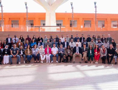
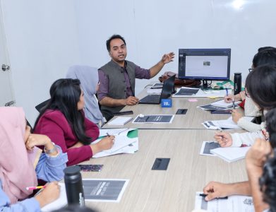
The TechCamp Program is collaborating with MapGive and YouthMappers to provide virtual trainings on Participatory GIS, Mapping, Data Collection, and Data Visualization for program Alumni!
MapGive is a U.S. Department of State initiative that encourages and increases participation in the global mapping community and facilitates the creation of open geographic data to support humanitarian relief and development programs. As part of its mission, MapGive identifies and creates opportunities where open mapping can support existing State Department programs to better support humanitarian and development needs.
The Trainings will take place in three geographic locations and two languages, to better serve our global alumni:
1) Bangladesh, English language, BST= Bangladesh Standard Time
2) Malawi, English language, CAT = Central Africa Time
3) Paraguay, Spanish Language, PYST = Paraguay Summer Time
You do not need to live in the region of the training that you are signing up for; select the training that best suits your local time zone and language skills. You must complete all four modules to receive a certificate of completion.


