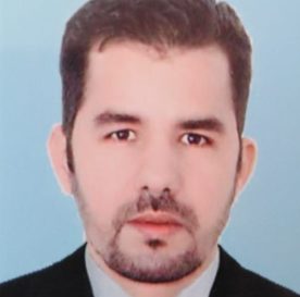
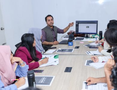
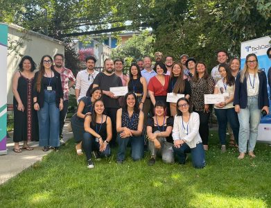
Abdelkarim Ouguinaz is the GIS Professional Specialist at the High Atlas Foundation (HAF). Prior to his work with HAF, Abdelkarim As a GIS engineer, he worked for a variety of different studies offices and NGOs, as well as a consultancy. Abdelkarim has a P.h.D in Development of the Ourika Watershed (Western High Atlas): Geosystemic Approach, He deeply masters GIS software such as ArcGIS, and Google Earth Pro, Sasplanet. In addition, he worked with numerous nonprofit organizations involved in local sustainable development and has in-depth experience in conducting workshops, collecting Data, coordinating project activities, and ensuring smooth communication with local authorities and stakeholders. While working with several consulting firms and NGOs, he acquired 10 years of on-the-ground experience in community-led development as well as a deep understanding of the needs and aspirations of rural and urban Moroccan communities.
Name
Abdelkarim Ouguinaz

Contact
GIS Professional Specialist, High Atlas Foundation


